About Meghalaya
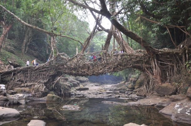
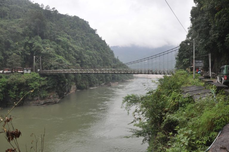
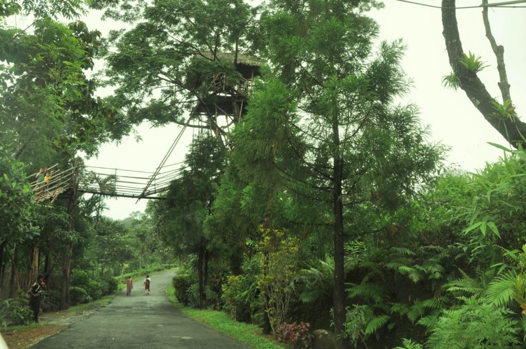
Hilly Meghalaya – the ‘abode of clouds’ – is a cool, pine-fresh mountain state set on dramatic horseshoe formation of rocky cliffs, deep gorges and valleys. Cherrapunjee and Mawsynram are among the wettest places in the world; the heavy rainfall has created the region’s key natural attractions – its plethora of waterfalls, caves and unique Living Root Bridges. Meghalaya recently got its name etched permanently in geological history.
Carved from the erstwhile State of Assam, Meghalaya became a full fledged State on January 21,1972. Bounded on the North and East by Assam and on the South and West by Bangladesh, Meghalaya is spread over an area of 22,429 square kilometres, and lies between 20.1° N and 26.5° N latitude and 85.49 °E and 92.52 °E longitude.
Meghalaya at a glance
Districts: East Khasi Hills, West Khasi Hills, South West Khasi Hills, West Jaintia Hills, East Jaintia Hills, Ri Bhoi District, East Garo Hills, West Garo Hills, South West Garo Hills, North Garo Hills, South Garo Hills.
Civil Sub- Divisions: Sohra, Mairang, Amlarem, Dadenggiri
Number of Villages : 6459
Population : 2966889
Density : 132 Per Sq. Km.
Literacy : 74.43%
Racial Origin of the People: Austric, Tibeto-Burman
Population of Shillong Shillong Urban agglomeration – 354759
(Source: http://megplanning.gov.in/handbook/2017.pdf)
Major Mineral Resources
Coal, Limestone, Sillimanite, Dolomite, Fireclay, Felspar, Quartz and Glass-sand.
Principal Forest Produce
Timber, Bamboo, Reed, Cane, Ipecac, Medicinal herbs and Plants, Cinnamon, Lemon-grass and Thatch-grass.
Principal Agricultural Products
Rice, Maize, Patato, Cotton, Orange, Ginger, Tezpata, Arecanut, Jute, Mesta, Banana and Pineapple.
Wildlife
Animals: Elephant, Leopard, Bear, Panther, Wild Boar, etc.
Birds: Duck, Hornbill, Myna, etc.
State Animal: Clouded Leopard
